
ABOUT US · SMARTLANDS SRL
We are a multidisciplinary team specialized in WebGIS, Geographic Information Systems (GIS) and IT infrastructure. We help municipalities, institutions, and businesses transform territories into accessible, updated, and decision-useful data.
WebGIS & GIS · Infrastructure & Hosting · Performance Marketing · INSPIRE/OGC Standards
Making geographic data accessible and understandable to those who govern and inhabit the territory. Not just software: training and methodology, so digital cartography becomes a daily decision-making tool, not a technical archive reserved for specialists.
A single cartographic environment where every territorial element — an address, a pipeline, a tree, a sign — is georeferenced, updated, and queryable. A structured database serving analysis, planning, and transparency toward citizens.
THE TEAM
Architects, agronomists, archaeologists, engineers, IT and marketing specialists: SmartLands' strength lies in converging diverse disciplines onto the same data.

Architect · ICT Technician — CEO

Chartered accountant

Chartered accountant

Archaeologist · Researcher

Industrial Surveyor · Marketing Manager

Agrotechnical Doctor

IT Technician

Infrastructure Engineer · Project Engineer
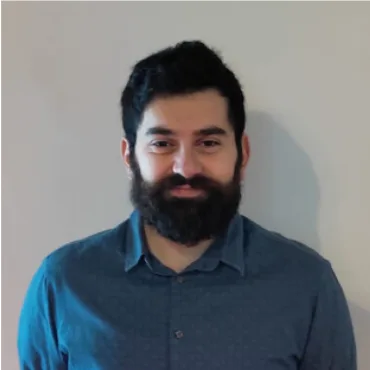
Agronomist · Researcher

Archaeologist · GIS Technician

Architect · GIS Technician

Landscape Architect

Landscape Architect
We adhere to INSPIRE and OGCstandards: every layer is structured, documented, and interoperable.
Hosting, backup, and management compliant with GDPR, ensuring service continuity and full data ownership.
A single point of contact for surveying, data, platform, and communication.
QGIS and WebGIS courses to empower your team to use GIS independently.