Vertical signs census
and horizontal Road cadastre
The road cadastre starts here: every sign, every line, every crossing becomes an object on the map, with its own position and status. It is the basis for planning maintenance systematically and for responding with data when signage is contested.
What we detect
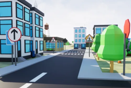
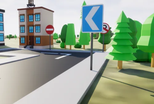
- GPS position of each vertical sign, with type and support structure
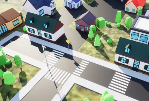
- Horizontal signage: lines, pedestrian crossings, parking bays
- Condition and legibility of each element
- Association with the reference road axis of the municipal street register
- Supporting photographic material where necessary
What remains with the Municipality
- An updatable signage cadastre, not a paper list
- The basis for planning refurbishments and replacements by priority
- Documentation of the state of the area, useful in case of disputes
- Access from technical offices and smartphones during site visits
- Delivery on PostGIS database and publication on municipal WebGIS
How it works
We start with a site visit to define the extent of the road network to be surveyed and the required level of detail. This is followed by field surveys, validation of collected data, and delivery on the WebGIS. Where necessary, we train staff in the use of the software.