One hour with a professional, on your specific issue
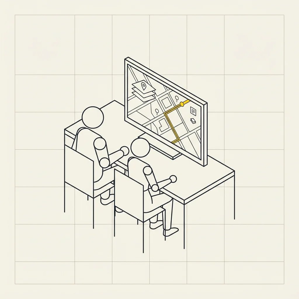
It's not a course: it's a working session. Bring your file, error, or deadline, share your screen on Google Meet, and solve it together. No fixed agenda — you set the priorities.
The packages
1 hour
€35
€35/hour
A specific question
A roadblock to overcome: layers that don't overlap, a layout that won't render correctly, a missing function.
2 hours
€65
€32.50/hour
A deliverable
Time to set up a procedure and see it work through to completion on your data, not just a demo.
5 hours
€90
€18/hour
A tailored path
Less than half the hourly rate of a single session. Split into multiple sessions and built around your work.
Package hours can be used across multiple sessions, scheduled as needed.
When it's better than a course

You have a specific issue and a deadline — you don't need a 4-hour program: you need that thing working today.

You work with data you can't show in a classroom — the session is private: your files stay between you and your consultant.

You've already taken a course but are missing the final piece — a targeted review of the unclear part, rather than repeating everything.

You need to set up a recurring monthly procedure — we'll build it together on your data, and it'll stay functional in your system.

You want a review of existing work — we'll open your project, check its setup, and fix any issues.
Who it's for
Municipal technicians needing to close a case without time for a full course. Freelancers — surveyors, architects, engineers, geologists — who use QGIS intermittently and restart from scratch each time. Firms wanting to refine an internal workflow with someone who's done it before.
How it works
- Duration: 1, 2, or 5 hours, your choice
- Where: online via Google Meet, with screen sharing
- On what: your your data and your project; if you prefer to start with an example, we'll provide the data
- Software: QGIS, free and open-source
- Recording: available for 30 days, so you can review the steps
How to book
Choose a package and complete the order. We'll contact you to schedule the session and request details in advance. what do you want to work on: this way the session starts already prepared and the first twenty minutes aren't spent framing the problem.
Do you have a question before purchasing, or don't know how many hours you need? Tell us what you need to do and we'll suggest the right package — even if the answer is that a course would be more suitable.
Is a session or a course better?
If you're starting from scratch and have never opened a GIS, the Basic QGIS Course costs less and yields more: 4 structured hours at €110. If you already use QGIS and are stuck on one specific issue, a targeted hour is worth an entire course. For databases, analysis, and automation there's the Advanced Course, for publishing maps online the WebGIS Course.
Who guides you
Three people, three distinct roles: the instructor, the perspective of someone working in public administration, and the person who helps you if the software doesn't work.
 Instructor
Giacomo Ponticelli
Archaeologist and researcher. Conducts the lessons from start to finish: sets up exercises, demonstrates each step via shared screen, and answers questions live. Works daily with territorial data from municipalities and public bodies, so the cases presented are real-world projects, not sample datasets.
 Co-speaker
Fabio Mancini
Architect and ICT technician, CEO of SmartLands. Focuses on the connections between GIS and real office work: how data enters official processes, which regulatory and procedural constraints matter, and how to build a long-lasting archive. He’s the one who answers questions like, 'How would this work in my organization?'
 Helpdesk assistant
Fabio Benvenuti
IT technician. Supports you on technical issues throughout the course: installation, configuration, permissions, system or connection problems. If something doesn’t work on your computer, they handle it while the lesson continues —so no one falls behind due to a technical issue.
The complete path
The three courses are designed to be taken sequentially, but each also works as a standalone.
You are here
Basic QGIS Course
The foundations
Stage 2
Data and automation
Who has already chosen us
Training delivered to public administrations and professional associations
We don’t teach textbook theory: the workflows you see in class are the same ones we use daily for our clients' projects.

Municipality
San Gimignano

Municipality
Casalecchio di Reno

Professional association
Architects of Florence
For Public Administrations: valid as staff training
Even individual training hours count toward the annual hour requirement: starting in 2025, every public employee must complete at least 40 hours of training per year — Directive from the Minister for Public Administration dated 16 January 2025 — and the CCNL Local Functions of November 16, 2022 (Art. 55) considers those hours as official working time.
At the end, we issue a participation certificate with completed hours along with the Google Meet attendance report, which is the document authorities request for reporting. How it works for public entities.
Frequently asked questions
How do I choose how many hours I need?
If you only have one issue, start with one hour. If you need to set up something you'll reuse (a procedure, a reusable layout, an archive), two hours is the right amount. The five-hour package is cost-effective when building a learning path: it costs €18 per hour instead of 35. If unsure, contact us first: we'll tell you what's sufficient.
Do I need to use all hours at once?
No. Package hours can be split into multiple sessions, scheduled as needed. Many do one hour, try on their own, then return with specific questions.
Can I work with my office's data?
Yes, and it's how the session becomes most effective. The session is private: no classroom, your files stay between you and your guide. If you prefer not to share, we'll use equivalent sample data.
Is the session recorded?
Yes, and the recording remains available 30 days: useful because during the session you watch, and steps can be reviewed afterward.
What software is needed?
QGIS, which is free and open-source. If not yet installed, we'll set it up at the start, but installing it beforehand saves valuable time.
Do you issue a certificate?
Yes: a named participation certificate with completed hours, plus the Google Meet attendance report for documentation. It's a participation certificate: not a professional certification or accreditation.
How do I pay? And the invoice?
At checkout you'll find bank transfer and PayPal (with PayPal you can also pay by card). We always issue the invoice, and the order form will request your details directly: for public entities, there are also fields for the SDI recipient code or PEC and for the determination reference or CIG.
Can we buy multiple packages for multiple colleagues?
Yes. Contact us first indicating how many people and what they need to work on: if topics overlap, a dedicated course edition may be better than individual sessions, and we'll advise you.