Information System
Territorial
Home » SIG – Geographic Information System
The territorial information system (SIT) is responsible for organizing, updating and disseminating geographical information. The SIT is the reference point for all information and planning documents relating to land management.
The webgis and the web maps are part of the SIT However the SIT is much more than just mere interactive maps, within this system we will also find other types of files and also accesses to Databases. All this to support the public administrations, large logistics companies and agricultural companies.
The SITs must follow the Agid guidelines and be in line with national and European standards (https://docs.italia.it/italia/designers-italia/design-linee-guida-docs/it/stabile/index.html)
The GIS must also comply with the INSPIRE directive, acronym of INfrastructure for SPatial InfoRmation in Europe, is a European Directive, which came into force on 15 May 2007, which establishes an infrastructure for spatial information in the European Community. The purpose of the aforementioned Directive is to ensure that the spatial data infrastructures of all member states are compatible and usable in a Pan-European context, so as to overcome problems regarding the availability, quality, organization and accessibility of data. INSPIRE intends to facilitate the search for spatial data through the web, paying attention to community environmental policies and to activities that may have repercussions on the environment, through the infrastructures for spatial information created by the Member States.
Consequently we can safely say that the European INSPIRE Directive aims to bring the administrations of the Member States to have information systems that have a base of Open Source Tools and Open Data. Smartlands srl fully embraces the directive using the file formats that the directive requires and uses Qgis with the GNU General Public License
The diffusion of the concept of transparency and the need to share information becomes fundamental for the standardization and interoperability of data and information; taking into account privacy.
Our SIT is based on a multilevel cloud infrastructure, accessible from a browser through profiled users. We use encrypted clouds and all open source programs.
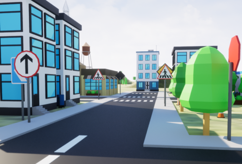
MAPPE DINAMICHE
Le mappe web dinamiche sono strumenti interattivi che permettono di visualizzare e manipolare dati geospaziali in tempo reale tramite un browser web. A differenza delle mappe statiche, che mostrano solo immagini predefinite, le mappe dinamiche consentono all’utente di zoomare, fare pan, aggiungere o rimuovere strati (layer), e interagire con i dati (ad esempio, cliccando su punti d’interesse per ottenere informazioni aggiuntive).
Molto importante utilizzare PostGIS per la modifica o l’aggiornamento del dato sia su QGIS sia sulla mappa web.
Per mappa dinamica intendiamo una mappa web che può essere modificata in qualsiasi momento grazie ad un database PostGIS.
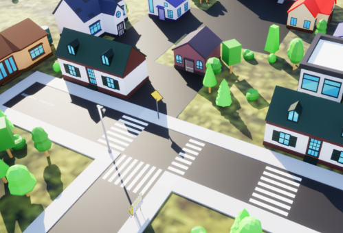
MAPPE STATICHE
La mappa web statica invece si diversifica dalla mappa web dinamica perchè non può essere modificata. Il webGIS statico una volta caricato è interattivo ma non modificabile perché non ha in estensione PostGIS.
Il miglior prodotto per un webGIS statico è Leaflet.js, il quale è una libreria JavaScript open-source per la creazione di mappe interattive.
È leggera, facile da usare e molto popolare, grazie alla sua efficienza e alla capacità di lavorare su dispositivi mobili.
Un altro prodotto invece sempre per la mappa web è openlayers