Fabio Mancini
Architect - ICT technician CEO - Founder

Stephen Spadoni
chartered accountant
founder

Niccolo Baccellini
Chartered accountant
Founder

Giacomo Ponticelli
Archaeologist - Researcher
Founder

Fabio Cioni
Per.Ind. - Marketing manager
Founder
STEFANO CALAMAI
DOTTORE AGROTECNICO
LAUREATO
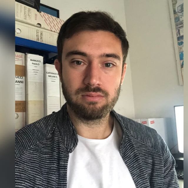
Fabio Benvenuti
TECNICO
INFORMATICO

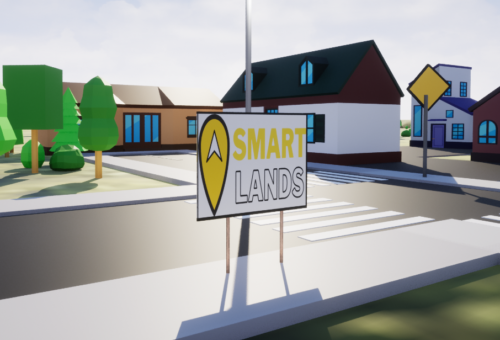
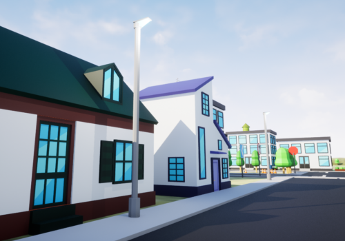
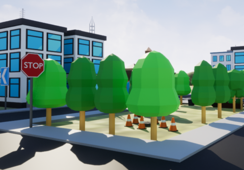
Diventa partner Smartlands
Cresciamo insieme
Matthias Iannuzzi
Infrastructural engineer
Project Engineer
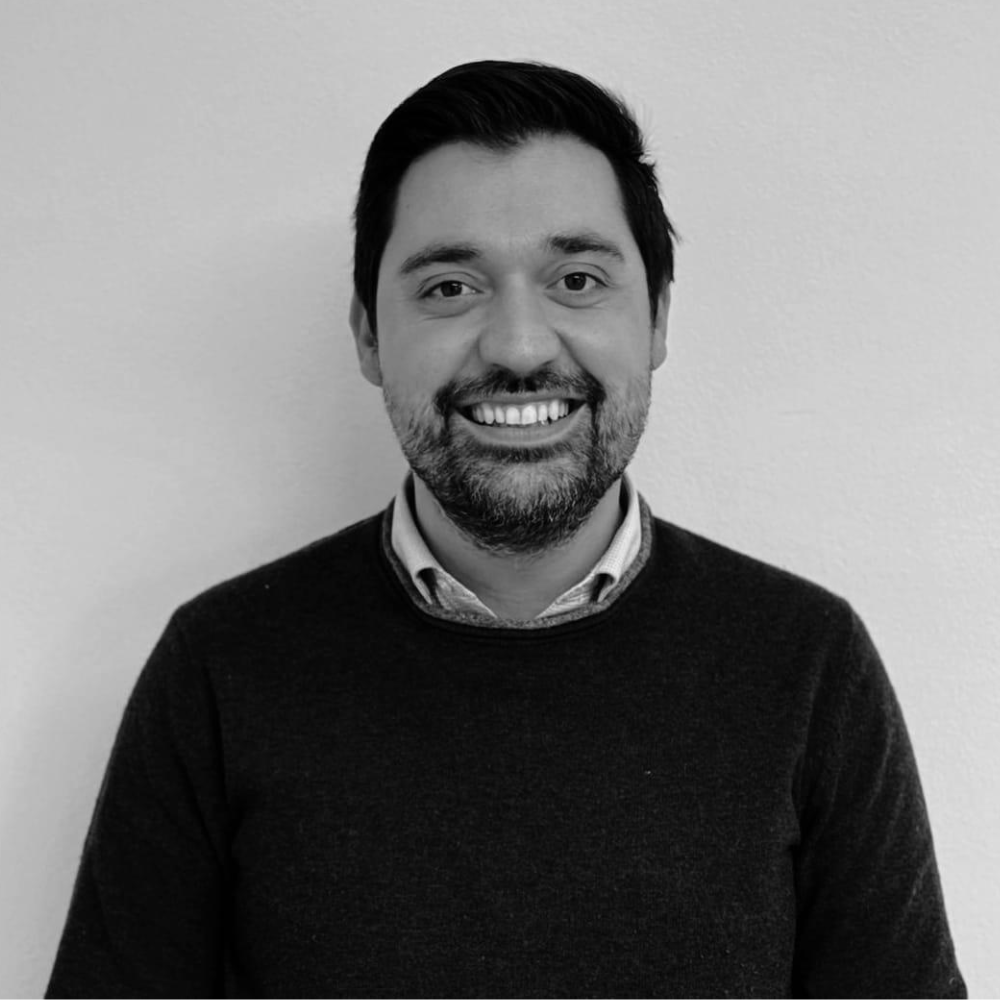
Gabriel Nerucci
Agronomist- Researcher
Leonardo Squilloni
Archeologo
GIS technician
Manuela Fontanave
Architect
GIS technician

Sara Lamon
Architect
Paesagista
Irene Rizzi
Architect
Paesaggista
We are waiting
Apply today