
SmartLands S.r.l. specializes in Geographic Information Systems (GIS) and municipal toponymy management. We offer comprehensive, advanced services for creating and updating road network information layers. Our goal is to provide Public Authorities and businesses with a unified, homogeneous, and interoperable database, essential for accurate territorial analysis, planning, and efficient infrastructure management.
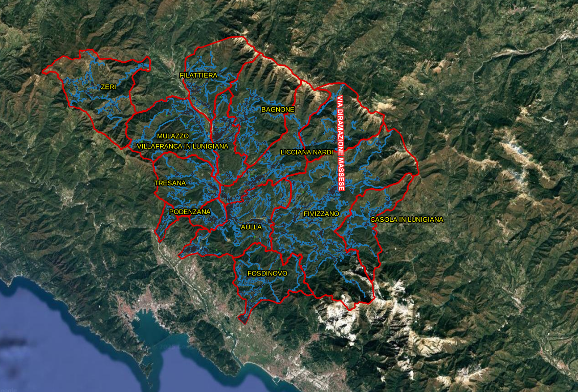
An outdated, incomplete, or geometrically incorrect road database can compromise spatial analyses and strategic decisions. Our update service is designed to ensure the highest quality standards, focusing on three fundamental pillars:
Our methodological approach is structured in rigorous phases, ensuring transparency and control over the quality of the final product. We use advanced GIS technologies such as PostgreSQL/PostGIS and QGIS for data processing.
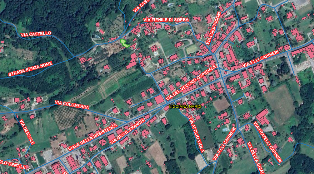
The SmartLands team has extensive experience in geographic and toponymic data management. We have completed numerous projects for Local Authorities and Municipal Unions, specializing in: