For Public Administration

40 hours of training per year.
How about making them produce work too?

Starting in 2025, every public employee must complete at least 40 hours of training per year. We turn them into an edition built on your territory's real data: by the end, staff haven't just learned QGIS, they've worked on street maps, house numbers, green areas.

The regulatory framework

It's 40 annual hours, and they count as working hours

It Directive by the Minister for Public Administration of January 16, 2025 sets a minimum annual training hours per capita of no less than 40 hours , and makes it a specific performance objective for each manager. TheCCNL Funzioni Locali of November 16, 2022, Art. 55 establishes that training hours are considered working hours in all respects: staff do not make up for them or count them as leave. Our course contents fall within the area

Upon completion, we provide data and documents area of Syllabus "Digital Skills for PA", the reference framework for digital staff training planning by public administrations.

Participant's name, with a sequential number and hours completed, within 3 days after the course ends. It is a participation certificate: it does not constitute professional certification or qualification.
Certificate of attendance
And most importantly
Google Meet attendance report
The official attendance record, with entry and exit times for each participant. It is the document required for reporting, which a recorded course cannot produce.
The formula we recommend
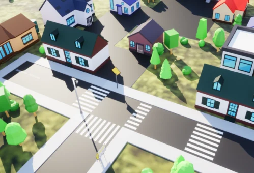
A dedicated edition, based on your municipality's data

Same program as catalog courses, but exercises are done on

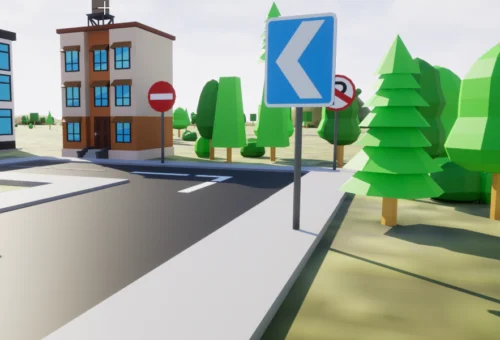
your layers: road network, civic numbers, green areas, toponymy, signage, lighting. Staff learn the tool while organizing data you actually need, and what they produce remains with the organization. Only your staff

No outsiders in the classroom: non-publishable data can be used.
Dates decided by you
No minimum number of participants required and no waiting: we start when you say.
Assistance during the lesson
A dedicated technician solves individual issues while the lesson proceeds.
The paths
Four courses, also available as dedicated editions

Stage 1 · 4 hours

From scratch: opening data, reference systems, styling, print layout.
Stage 2 · 8 hours
Databases, spatial analysis, topological control, automation, and Atlas.
Stage 3 · 8 weeks
Publishing maps online: Leaflet, OpenLayers, uMap, final project.
1, 2, or 5 hours
Individual sessions to solve a specific issue, using your data.
To bring to meetings
The PDF catalog, four pages

Programs, hours, prices, regulatory references, and what we provide for reporting. Designed to be attached to a resolution or forwarded to a manager, not for on-screen reading.

Download the catalog

Without friction with the accounting office

Formal quote before financial commitment

  • : we send it on letterhead, with detailed hours.Electronic invoice
  • with recipient code SDI or PEC, resolution reference, and CIG where required. Bank transfer
  • or PayPal. For the amounts involved, direct awarding is usually applicable. A single point of contact
  • : we collect names, issue certificates in one batch with the list of hours per person.Let's talk about your organization
Who has already chosen us
Stemma del Comune di San Gimignano
Municipality
San Gimignano
Stemma del Comune di Casalecchio di Reno
Municipality
Casalecchio di Reno
Logo dell’Ordine degli Architetti di Firenze
Professional association
Architects of Florence
Tell us how many people you need to train and what data you work with: we'll send you a program and a formal quote, no obligation. If the call shows a catalog course is sufficient, we'll tell you.

Tell us how many people you need to train and what data you work with: we'll send you a program and a formal quote, with no obligation. If the call reveals that an off-the-shelf course is sufficient, we'll let you know.

Request a quoteRequest an edition