Waste management
Smart-Waste
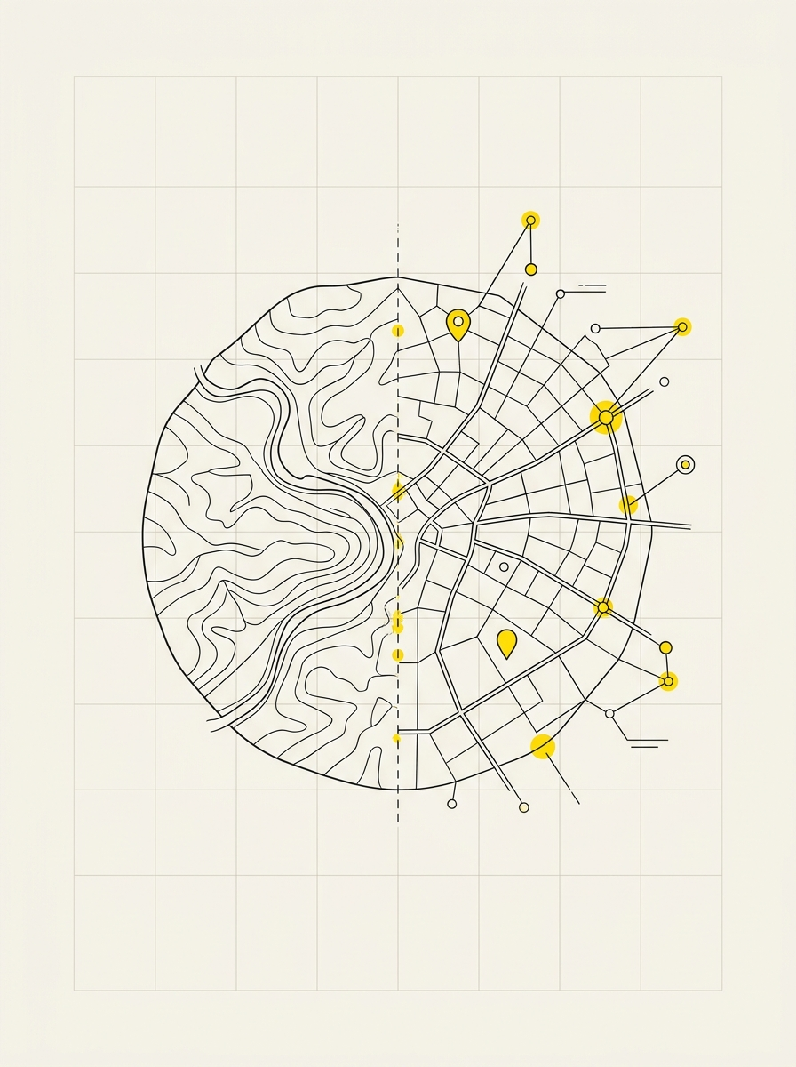
Waste taxation relies on simple but often inaccurate data: who produces, how much, and where. Mapping users, containers, and collection points makes verifiable what is currently estimated.
What we detect
- Location of containers and collection points in the area
- Association between user, property, and street number
- Served areas and collection routes
- Discrepancies between registered users and actual properties
- Supporting photographic material where necessary
What remains with the Municipality
- A consistent database for TARI and the transition to pay-as-you-throw
- The ability to verify service coverage zone by zone
- Support for compiling registers and declarations
- Access from the office and smartphones during inspections
- Delivery on PostGIS database and publication on municipal WebGIS
How it works
We start with the user data already available to the Municipality or the service provider, then verify containers, collection points, and served properties in the field. This is followed by validation and delivery on the WebGIS. Where needed, we train staff on software usage.