Census of green areas
smart green
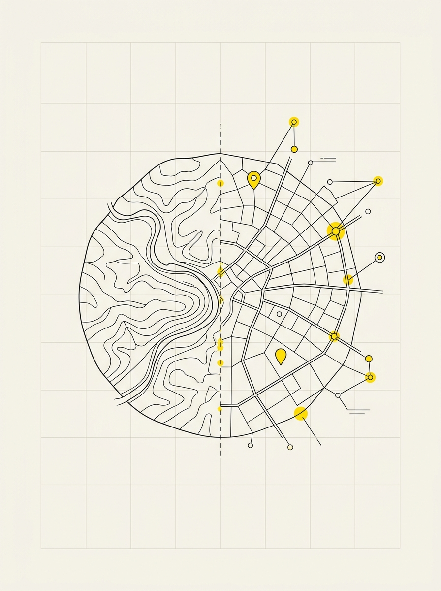
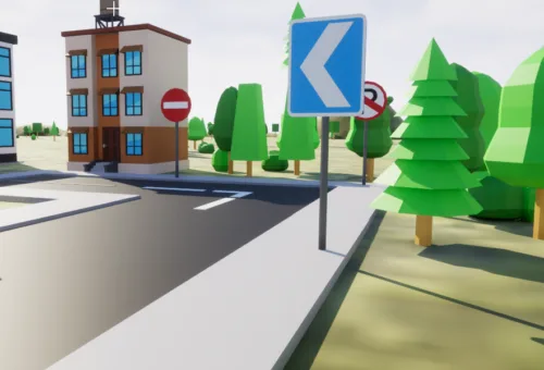
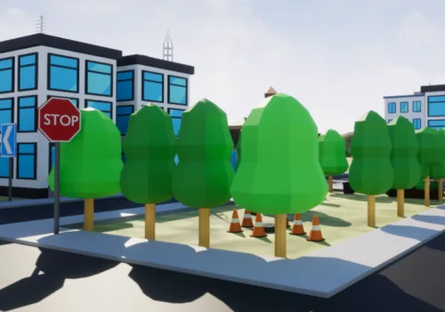
Public green spaces are assets requiring maintenance and, when necessary, documentation. Georeferenced mapping locates trees, flowerbeds, parks, and furnishings, with information for scheduling mowing and pruning and accurately determining surfaces for tenders.
What we detect
- Perimeter of green areas and actual surface area, measured not estimated
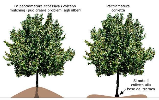
- Trees: precise location, species, and dimensions
- Furnishings and equipment: benches, playgrounds, fences, lighting
- Maintenance status and completed interventions
- Supporting photographic material where necessary
What remains with the Municipality
- Accurate surface calculations, a concrete basis for tender specifications
- A database for the green plan and tree inspections
- A history of interventions, avoiding restarting from scratch each season
- Access from technical offices and smartphones during site visits
- Delivery on PostGIS database and publication on municipal WebGIS
How it works
We start with an inspection to define areas and required detail levels. This is followed by field surveys, data validation, and delivery on the WebGIS. Where needed, we train staff on software usage.