Census
lighting
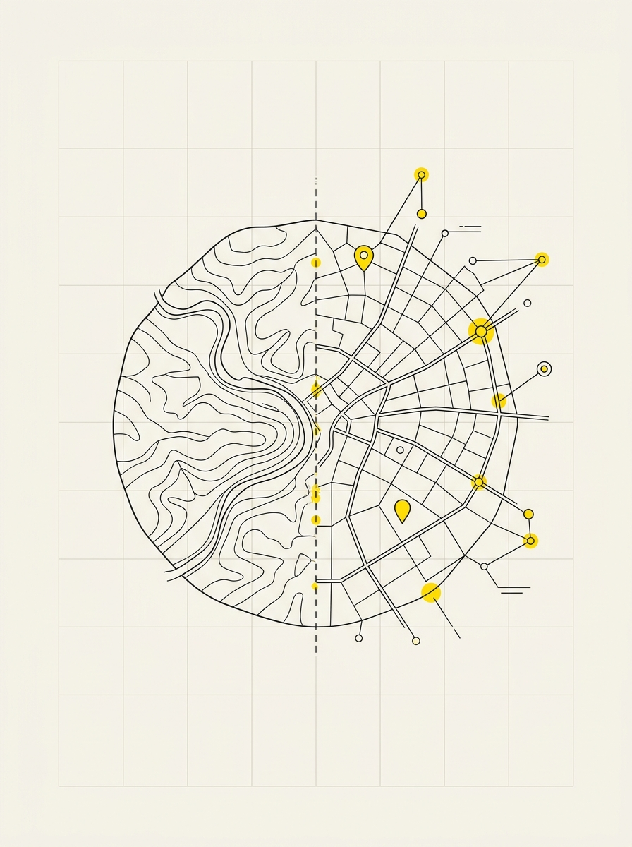
Each light point becomes accessible data. The georeferenced census of public lighting maps lamps, supports, and electrical panels in the municipal area, with the technical information needed to plan maintenance, evaluate efficiency measures, and respond to citizen reports without searching through paperwork.
What we detect
- GPS position of each light point and electrical panels
- Technical sheet of the element: lamp type, power, support type, condition
- Supporting photographic material where necessary
- Connection with the civic numbering, starting from the Tuscany Region portal data
- Upon request, the ownership of the installation, to distinguish what is the Municipality's responsibility from what is managed by third parties
What remains with the Municipality
- A georeferenced archive that can be updated over time, not an outdated document
- The database for the energy efficiency plan and for participating in tenders
- Access from technical offices and smartphones during site visits
- A dedicated account: the office updates data independently, without having to go through us
- Delivery on PostGIS database and publication on municipal WebGIS
How it works
We start with a site visit to define the area's extent and the required level of detail. This is followed by field surveys, validation of collected data, and delivery on the WebGIS. Where necessary, we train staff in the use of the software.