Water mains and sewers
smart toilet
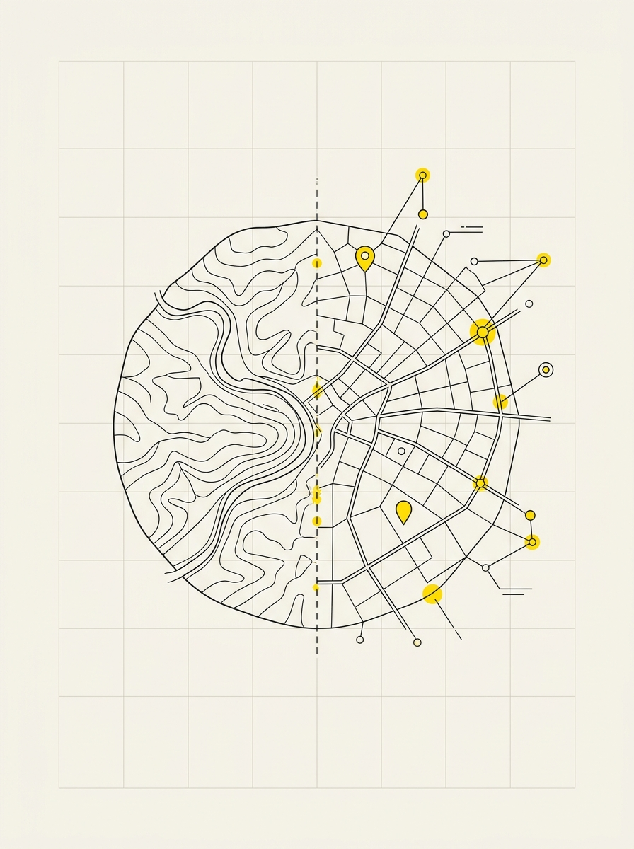
Underground infrastructure often has an unknown exact layout until excavation is required. Mapping the water and sewer network brings conduits, manholes, and structures to the map, distinguishing documented elements from those requiring verification.
What we detect
- Layout of water and sewer conduits, including material and diameter where available
- Manholes, drains, outlets, and network structures
- Connection points and main junctions
- Comparison with existing cartography and as-built drawings
- Supporting photographic material where necessary
What remains with the Municipality
- A single map of the network, replacing scattered and incomparable sheets
- Fewer surprises during excavation and project planning
- The basis for planning interventions starting from critical sections
- Access from technical offices and smartphones during site visits
- Delivery on PostGIS database and publication on municipal WebGIS
How it works
We begin with available documentation and an inspection to define the network's extent. This is followed by field surveys, data validation, and delivery on the WebGIS. Where needed, we train staff on software usage.