Information System
Territorial
Home » SIG – Geographic Information System
The territorial information system (SIT) is responsible for organizing, updating and disseminating geographical information. The SIT is the reference point for all information and planning documents relating to land management.
The webgis and the web maps are part of the SIT However the SIT is much more than just mere interactive maps, within this system we will also find other types of files and also accesses to Databases. All this to support the public administrations, large logistics companies and agricultural companies.
The SITs must follow the Agid guidelines and be in line with national and European standards (https://docs.italia.it/italia/designers-italia/design-linee-guida-docs/it/stabile/index.html)
The GIS must also comply with the INSPIRE directive, acronym of INfrastructure for SPatial InfoRmation in Europe, is a European Directive, which came into force on 15 May 2007, which establishes an infrastructure for spatial information in the European Community. The purpose of the aforementioned Directive is to ensure that the spatial data infrastructures of all member states are compatible and usable in a Pan-European context, so as to overcome problems regarding the availability, quality, organization and accessibility of data. INSPIRE intends to facilitate the search for spatial data through the web, paying attention to community environmental policies and to activities that may have repercussions on the environment, through the infrastructures for spatial information created by the Member States.
Consequently we can safely say that the European INSPIRE Directive aims to bring the administrations of the Member States to have information systems that have a base of Open Source Tools and Open Data. Smartlands srl fully embraces the directive using the file formats that the directive requires and uses Qgis with the GNU General Public License
The diffusion of the concept of transparency and the need to share information becomes fundamental for the standardization and interoperability of data and information; taking into account privacy.
Our SIT is based on a multilevel cloud infrastructure, accessible from a browser through profiled users. We use encrypted clouds and all open source programs.
DYNAMIC MAPS
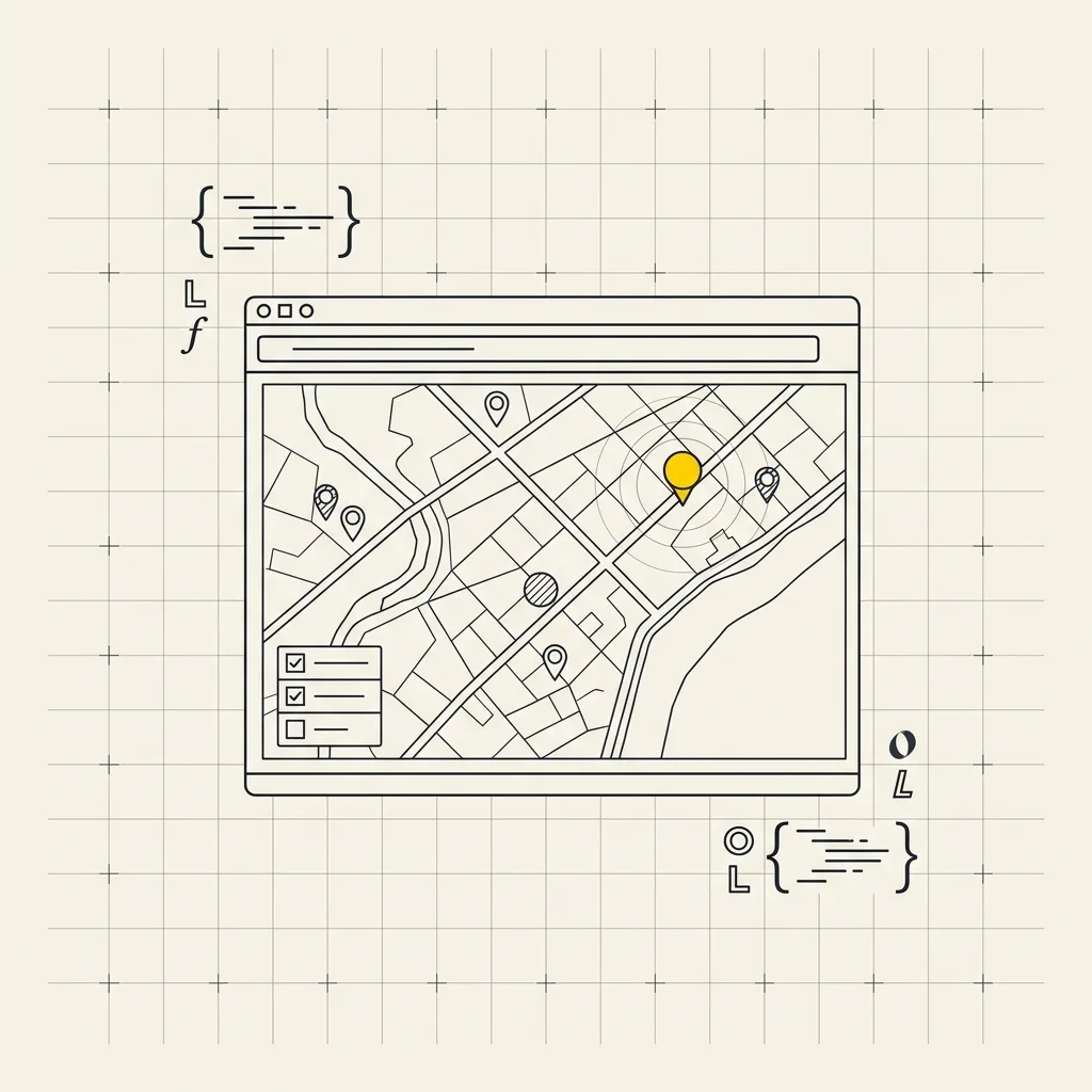
Dynamic web maps are interactive tools that allow users to visualize and manipulate geospatial data in real-time via a web browser. Unlike static maps, which only show predefined images, dynamic maps enable users to zoom, pan, add or remove layers, and interact with data (e.g., clicking on points of interest to get additional information).
It is very important to use PostGIS for editing or updating data both in QGIS and on the web map.
By dynamic map, we mean a web map that can be edited at any time thanks to a PostGIS database.
STATIC MAPS
Static web maps differ from dynamic web maps because they cannot be edited. Once loaded, a static WebGIS is interactive but not editable because it does not have a PostGIS extension.
The best product for a static WebGIS is Leaflet.js, which is an open-source JavaScript library for creating interactive maps.
It is lightweight, easy to use, and very popular due to its efficiency and ability to work on mobile devices.
Another product for web maps is OpenLayers