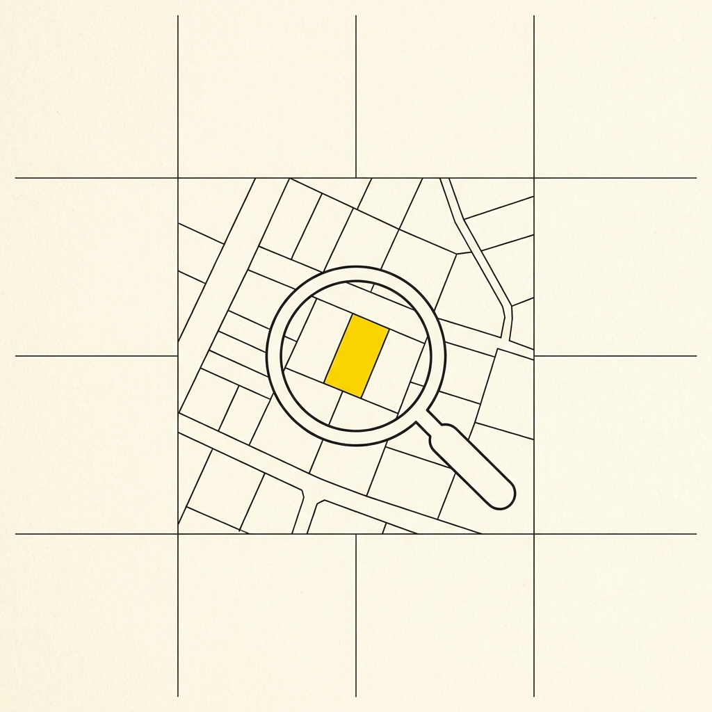
Web map of the Tuscany cadastre with full regional coverage. The map allows viewing sheets, cadastral parcels, and place names, and querying data from information layers via HTML. Data is provided by Tuscany Region WMS services through the Geoscopio project