Street and Road Network Updates:
Accurate and Reliable Geographic Data

SmartLands S.r.l. specializes in Geographic Information Systems (GIS) and municipal toponymy management. We offer comprehensive, advanced services for creating and updating road network information layers. Our goal is to provide Public Authorities and businesses with a unified, homogeneous, and interoperable database, essential for accurate territorial analysis, planning, and efficient infrastructure management.
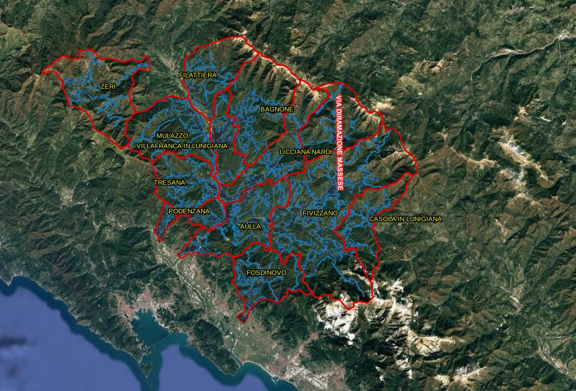
We offer a comprehensive service for creating and updating road network data layers. If your organization needs homogeneous and interoperable data, contact one of our technicians now.

Immagine 2025 11 07 171519

The Importance of Accurate Road Data

An outdated, incomplete, or geometrically incorrect road database can compromise spatial analyses and strategic decisions. Our update service is designed to ensure the highest quality standards, focusing on three fundamental pillars:

  • Geometric and Positional Accuracy: We ensure that every road element (such as axes and areas) is precisely positioned, creating geometries based on updated reference data, such as the latest aerial orthophotos.
  • Topological Accuracy: We guarantee valid geometries that respect essential spatial relationships. This means creating a connected graph (where lines meet correctly at nodes ), without overlaps or self-intersections. Topologically correct data is crucial for any network analysis (e.g., route calculation, catchment areas) and prevents calculation errors.
  • Completeness and Consistency of Attributes: We don't stop at geometry. We enrich geographic data with a complete set of descriptive attributes, verifying the consistency of all required information, such as:
    • Typological and functional classification of the road
    • Type of pavement
    • Responsible managing authority
    • Level and other administrative classifications

Our Operational Methodology

Our methodological approach is structured in rigorous phases, ensuring transparency and control over the quality of the final product. We use advanced GIS technologies such as PostgreSQL/PostGIS and QGIS for data processing.
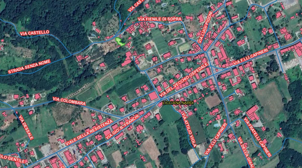
Immagine 2025 11 07 171553

1. Data Analysis and Preparation

In this initial phase, we collect and verify all the base material provided (e.g., Regional Technical Maps, existing road graphs, orthophotos). We normalize datasets in a PostGIS database environment and align them to standard reference systems (e.g., ETRS89 / UTM).

2. Geometric Update

This is the core of the activity. Our specialized technicians perform detailed photointerpretation based on the latest orthophotos. This process includes:

  • Correction and updating of existing geometries.
  • Review of road centerlines and areas.
  • Integration with any local data sources (e.g., municipal) to ensure maximum adherence to the territorial reality, after consistency verification.

3. Attribute Population and Verification

Once the geometry is validated, we proceed to populate the attribute tables according to the required classifications. We perform automatic checks via SQL rules and topological tools in QGIS/PostGIS to validate the consistency and correctness of the entered data.

4. Quality Control and Delivery

Before delivery, we perform a final validation of completeness, consistency, and geometric continuity of the entire dataset. The final product is exported in standard industry formats (e.g., GeoPackage, shapefile) and accompanied by metadata compliant with national standards (RNDT).

Expertise and Reference Standards

The SmartLands team has extensive experience in geographic and toponymic data management. We have completed numerous projects for Local Authorities and Municipal Unions, specializing in:


Ready to map the future of your territory?

Whether updating the road registry of a single municipality or harmonizing the road network of an entire province, our team is ready to analyze your project.