Webmap for
citizen reports
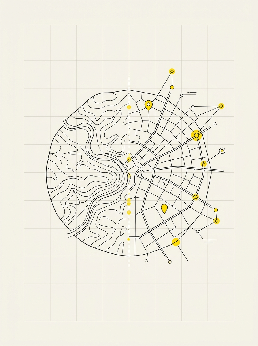
A single channel between citizens and the technical office. The web map of reports allows those who live in the area to indicate a problem—a pothole, a broken streetlight, a damaged bin—in the exact location where it is, and for the office to receive it already georeferenced instead of described over the phone.
How it works
- The citizen opens the map from the Municipality's website, without installing anything
- They indicate the point on the map, choose the category, and describe the problem
- The report reaches the office with location, date, and type already recorded
- The office updates the processing status, and the report remains tracked
- All reports are collected on a single map, not in separate email inboxes
What remains with the Municipality
- A searchable history by area and problem type
- The ability to see where recurring issues are concentrated
- An official channel that reduces scattered phone calls and emails between offices
- Integration with other layers of the municipal WebGIS: lighting, roads, green areas
- A dedicated account: the office manages reports independently
How it works
We configure the map with the report categories useful to the Municipality and with reference cartographic layers, then publish it on the WebGIS. Where necessary, we train staff in the use of the software.